“Eye on the Eagle” at Beautiful Hay Meadows in Kananaskis Country, Alberta, Canada
The sound of woodpeckers tapping on trees, the vibrant colours of mallards, the sight of a heron standing still by a creek waiting for its catch, the clever scavenging skills of ravens, and the appearance of robins announcing the arrival of spring — all these moments showcase nature’s beauty.
While many birdwatching experiences are thrilling, nothing compares to the excitement of spotting a bird of prey up close, especially an eagle. I have encountered several eagles in Alberta: at Jasper National Park on the way to Maligne Lake, at Vermilion Lakes in Banff, and even a resident eagle flying around the Prince of Wales Hotel in Waterton National Park at dawn. I also saw them in the forests by the Highwood River in Kananaskis, all from distances ranging from 20 to 100 meters!
I consider the Kananaskis Trail to be my “twin” to the Icefields Parkway because of its stunning drive alongside the Rockies. Similarly, the Storm Mountain day-use area is like my “twin” to Morant’s Curve on the Bow Valley Parkway (Hwy 1A), where I enjoy watching freight trains cross below through the Bow River!
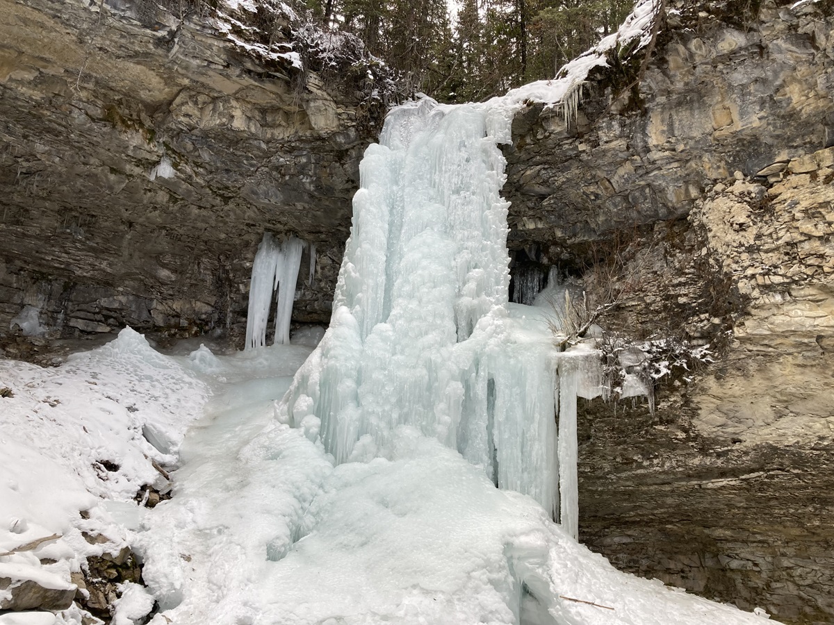
Troll Falls in the Kananaskis, on the way to the Nakiska Ski Area, is an easy trail I’ve hiked for the past four years across different seasons. Despite recommendations to take the Hay Meadows trail for its scenic beauty — one of three routes to the Falls from the parking area — I never tried it until May 2026, when a beloved family friend visited Alberta. I promised myself I would return, and I did so most recently on November 4.
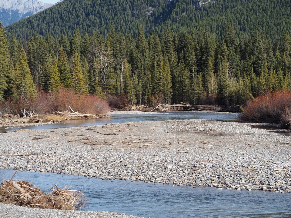
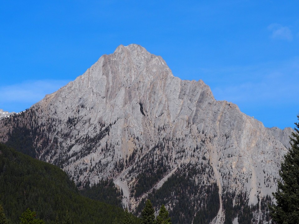
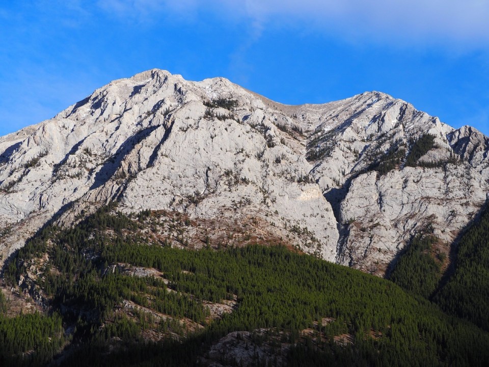
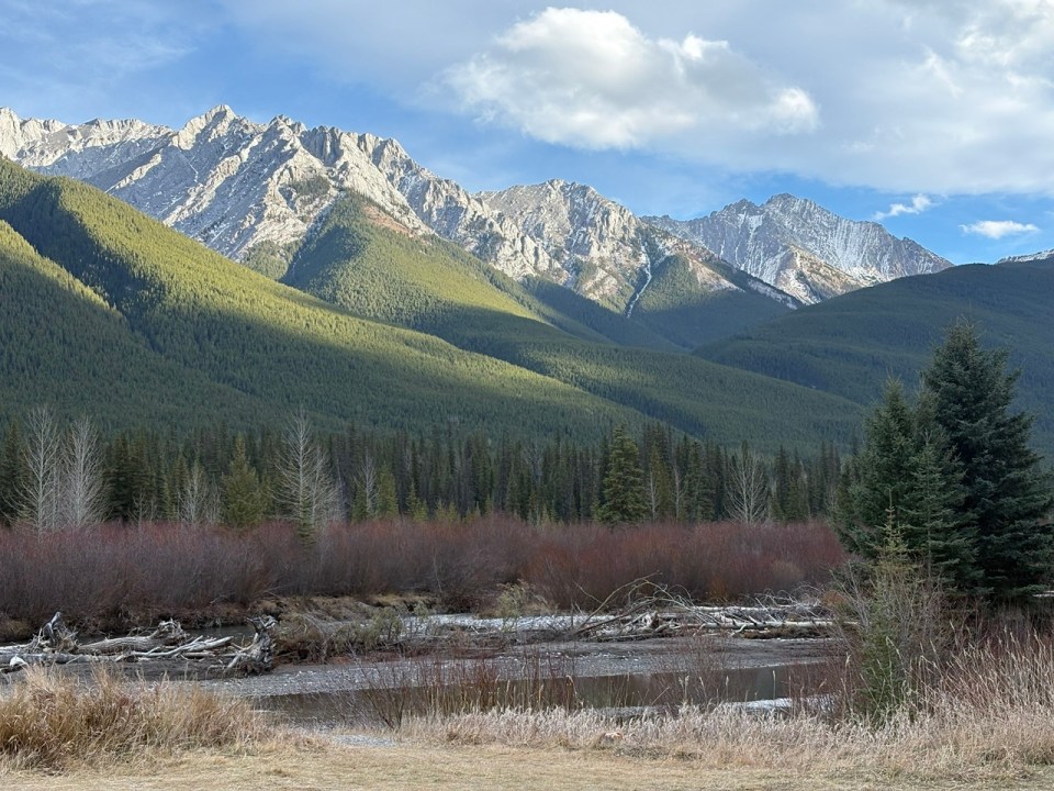
Just a kilometre into the trail, after passing through the forest, I arrived at an open area by the Kananaskis River. The views were breathtaking, with mountains stretching from the north to the east and southeast. Looking west, I could see the Nakiska Ski area, with the famous Mount Allan rising prominently in the background.
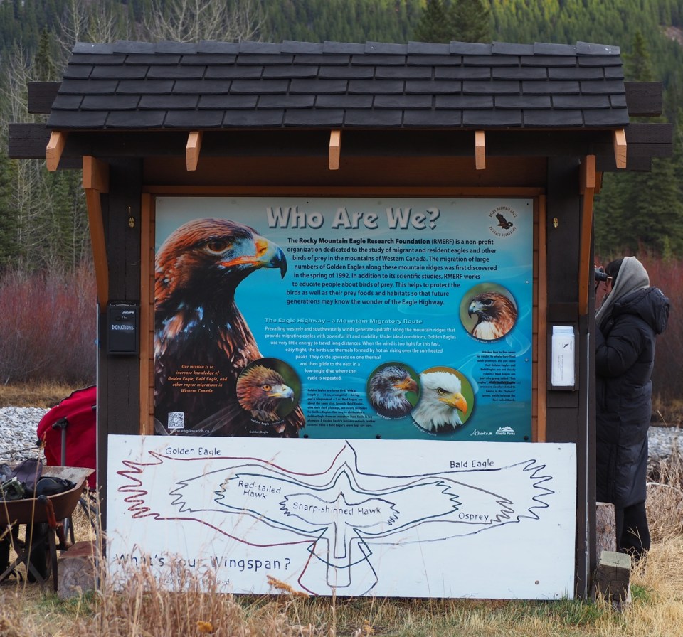
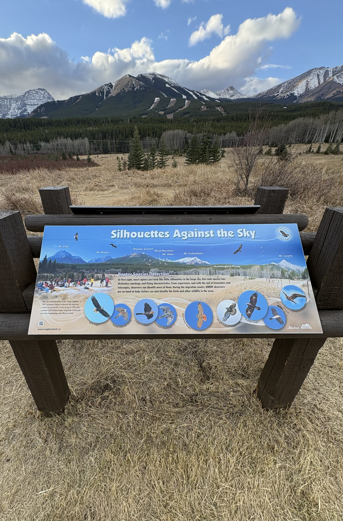
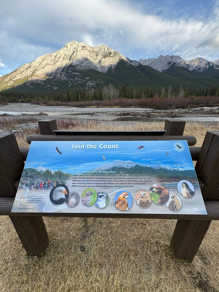
Something caught my attention: a series of panels showcasing a fascinating project that has been ongoing since 1992. Two individuals were intently watching the sky through binoculars, which distracted me from the informative panels. Unfortunately, I had left my own binoculars in the car!
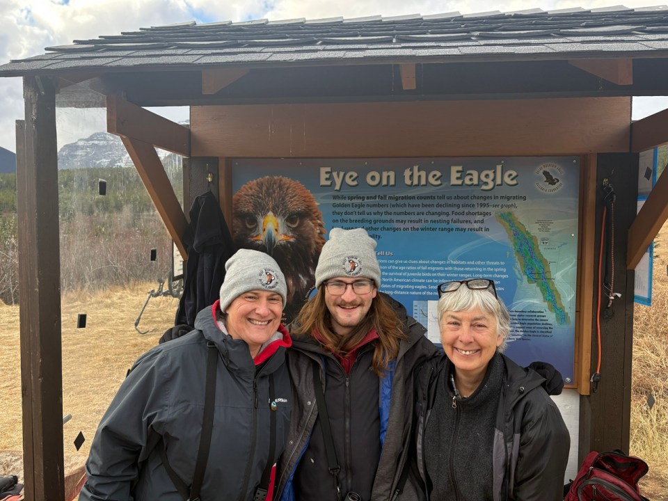
As soon as one of them lowered his binoculars, I asked if he had spotted something particularly interesting. For both Peter Lloyd and his colleague, Niza Ibarra Avalos, every moment spent observing the sky was filled with anticipation and excitement. They were counting the fall migration of Bald and Golden Eagles as they made their way to Southern Alberta and farther into the USA and parts of Mexico!
~~~~~~~~
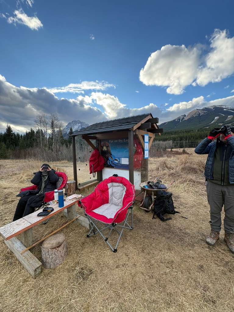
Each day, a team of at least two volunteers, an official counter, and observer(s) arrive at 10 AM and remain until sunset. Eagle monitoring occurs in the fall, from approximately September 20 to November 15, and then resumes in the spring, from March 1 to April 22 (dates are not exact), to count the returning eagles that migrate as far north as Alaska. This project is part of the Rocky Mountain Eagle Research Foundation (RMERF), which was established in 1992 when Peter Sherrington and Des Allen discovered the previously unknown phenomenon of eagle migration in the area. This discovery initiated an extensive study that has now lasted over 30 years.
~~~~~~~~
~~~~~~~~
~~~~~~~~
~~~~~~~~
I then studied the colourful educational panels and graphs showing annual migration counts since 1992, as well as daily autumn migration counts. I was fascinated to learn that the daily count could reach as high as 200 raptors. I returned on November 11 with binoculars and met the volunteers on duty, Graeme Dunlop and Peter Lloyd. However, I struggled to spot eagles 1 to 2 kilometres away. During my next two visits, I spotted three golden eagles.
The last day for eagle sightings was November 15, so I went to the area to say hello and bid goodbye to my newfound friends and the dedicated volunteers on duty. Among them was Allison Zukewich, whom I had met a couple of days earlier while she was volunteering with Lynette MacCulloch.
Every day, the volunteers submit a report of their sightings, which you can access HERE.
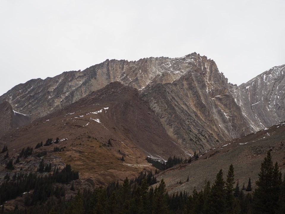
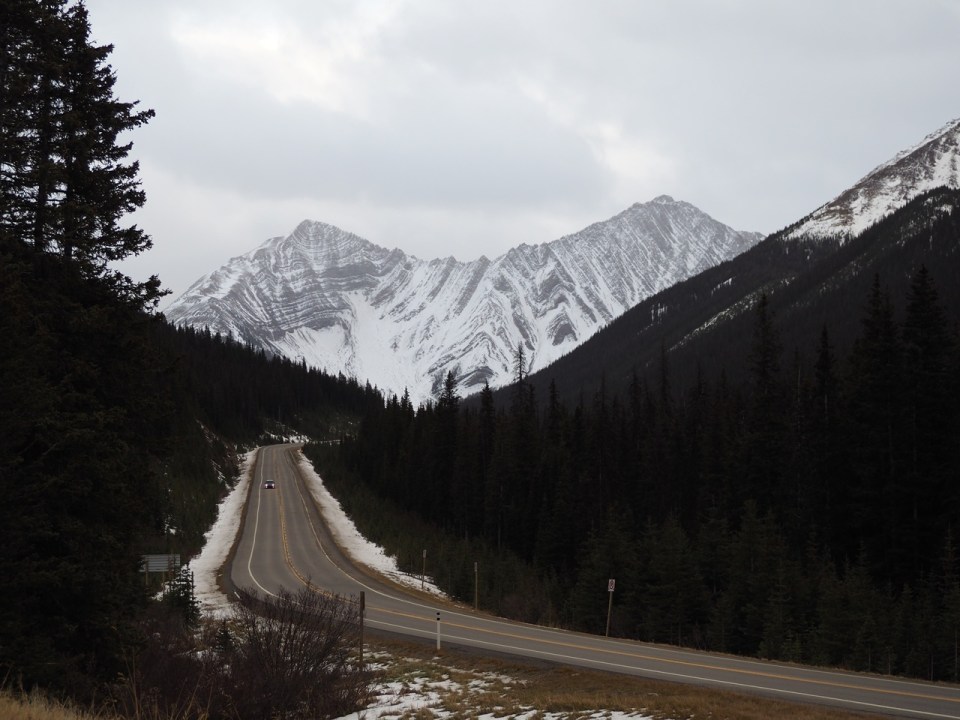
After this wonderful visit on the final day of the autumn eagle count, I drove up to Highwood Pass, Canada’s highest paved road. Along the way, I marvelled at the scenery, which, in my opinion, is as stunning as what you see on the Icefields Parkway between Lake Louise and Jasper.
~~~~~~~~
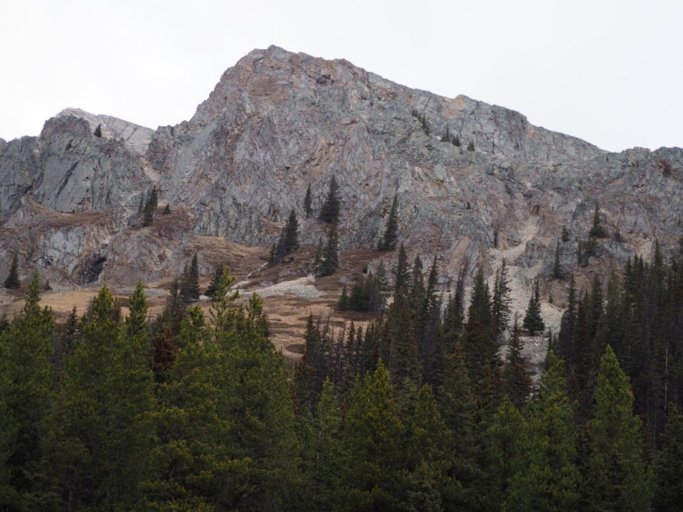
A DRIVE THROUGH THE KANANASKIS
~~~~~~~~
~~~~~~~~
~~~~~~~~
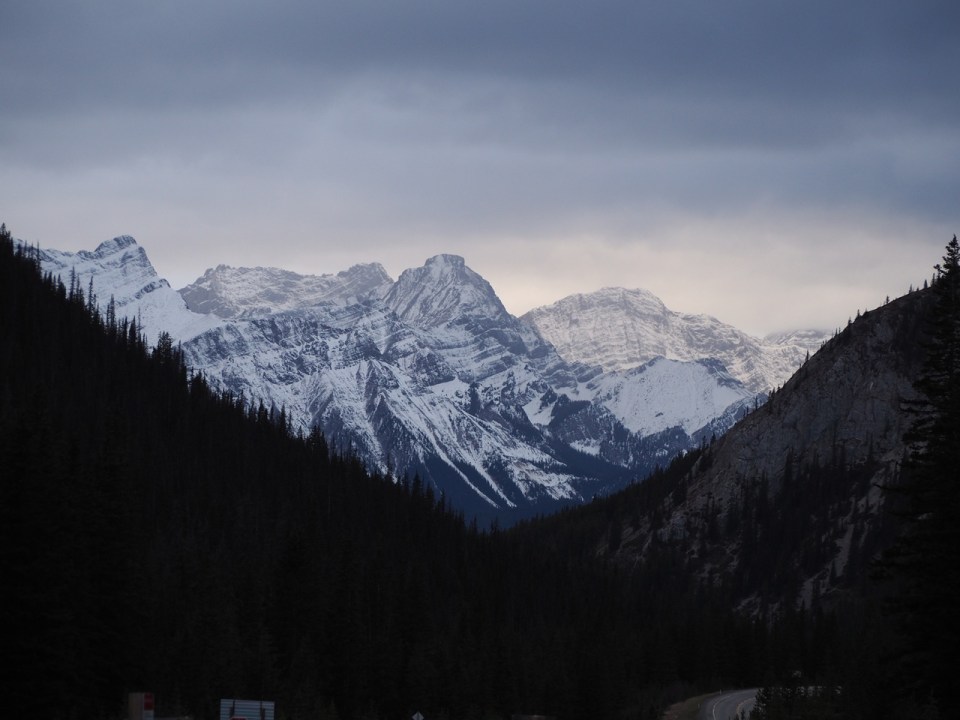
As I drove back along the same route, I reminded myself that RMERF is seeking volunteers to continue its important mission of gathering data to better understand the migration patterns of Golden Eagles and other raptors. The Kananaskis Hay Meadows/Mt. Lorette location is internationally recognized for its long-standing citizen science raptor migration count. I am thrilled to have discovered this initiative and feel inspired by the dedication of the volunteers involved.
Date posted: November 19, 2026.
_____________